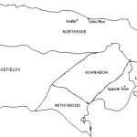
Port Royal Maps
Each map displayed links to an individual page with larger images and additional information. At the end is a link to historic maps of the parishes of Jamaica, and those maps link to additional high-resolution digital maps.
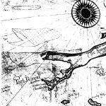
MAP 1:
Port Royal, 1683
Map (part only) by William Hack, a famous map maker of London's Mapping School
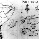
MAP 2:
Port Royal, 1688
Map by Port Royal visitor, John Taylor
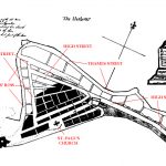
MAP 3:
Port Royal, ca. 1680s (mid 18th-century copy)
Map maker unknown
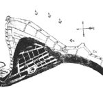
MAP 4:
Port Royal, ca. 1680s
Map maker unknown
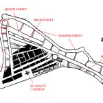
MAP 5:
Port Royal, pre-1692
Corrected scaled map using present distances
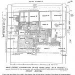
MAP 6:
New Street Excavation by A. Priddy, 1692 Level
From Jean and Oliver Cox (1987) The Historic City of Port Royal: First Stage of Implementation
Note the high density of structures on this single 50 ft. X 50 ft. lot.
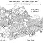
MAP 7:
John Fletcher's Land, New Street 1692 (Based on Priddy's Excavation of 1971-72)
From Jean and Oliver Cox (1987) The Historic City of Port Royal: First Stage of Implementation

