The War of 1812-Era Shipwrecks of Lake Champlain
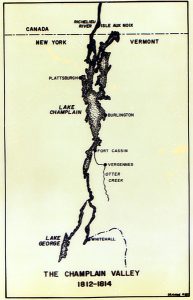
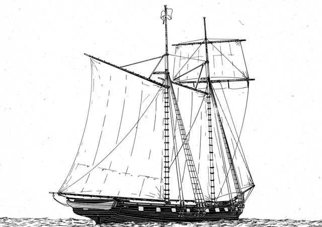
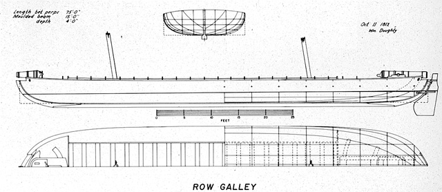
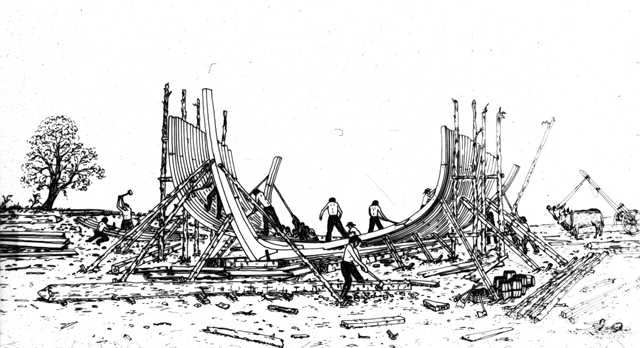
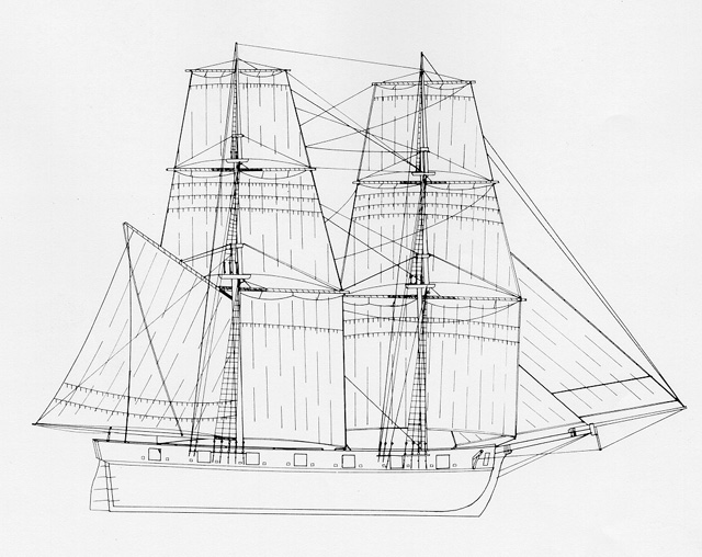
Despite its relatively small size, 120 miles (193 km) in length by no more than 12 miles (19.3 km) in breadth, Lake Champlain was destined to play a pivotal role in the final year of the Anglo-American ‘War of 1812.’ From the U.S. Navy’s shipyard in Vergennes, Vermont and the Royal Navy’s yard at Isle aux Noix, Lower Canada (now Quebec), squadrons of heavily-armed warships sailed forth in the spring of 1814 to win command of the lake’s waters.
Want to read more about Lake Champlain’s War of 1812 shipwrecks? See:
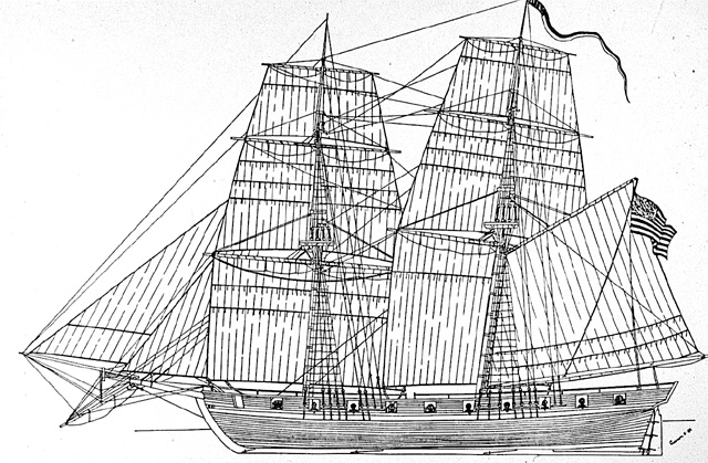
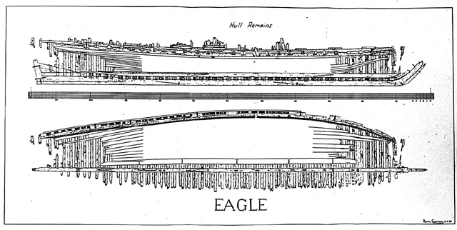
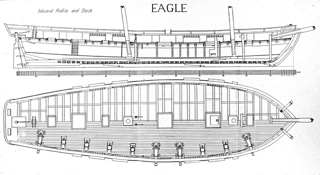
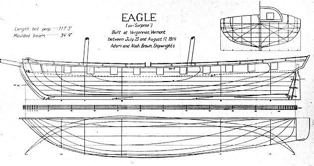
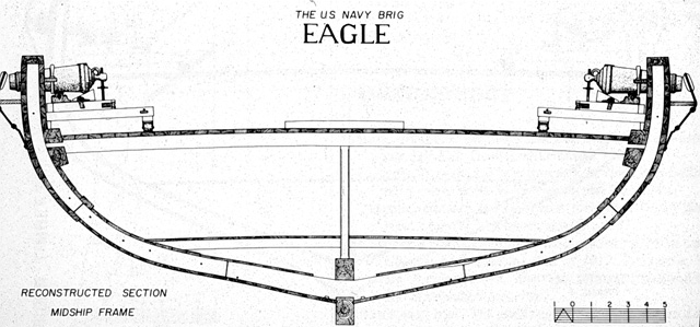
 Kevin J. Crisman. The Eagle: An American Brig on Lake Champlain During the War of 1812 (Shelburne, Vt. And Annapolis, Md.: New England Press and Naval Institute Press, 1987).
Kenneth Cassavoy and Kevin Crisman, "The War of 1812: Battle for the Great Lakes," in George F. Bass, Editor, Ships and Shipwrecks of the Americas (London and New York: Thames and Hudson, Ltd., 1988).
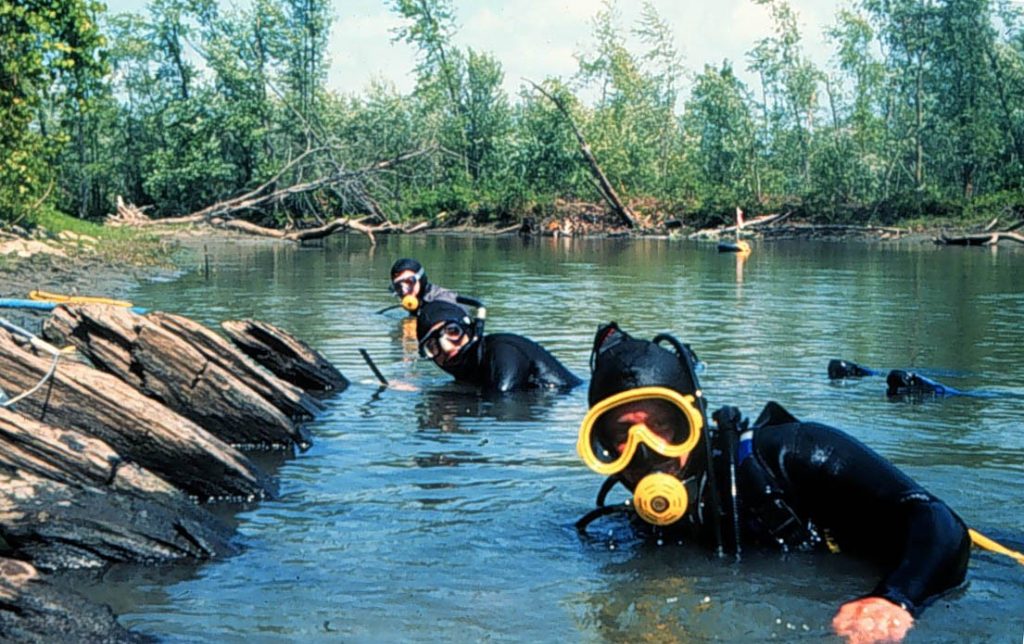
Kevin J. Crisman. ""Coffins of the Brave": A Return to Lake Champlain’s War of 1812 Ship Graveyard," The INA Quarterly, Vol. 22, No. 1, Spring, 1995.
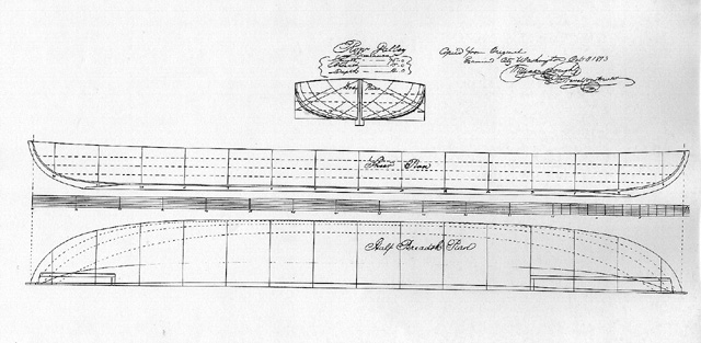
Eric Emery. "Whitehall Project 1995: A Preliminary Report on the Excavation and Study of the U.S.N. Row Galley Allen," The INA Quarterly, Vol. 22, No. 4, Winter, 1995.
Erika Washburn. "Linnet: A Brig from the War of 1812," The INA Quarterly, Vol. 23, No. 1, Spring, 1996.

