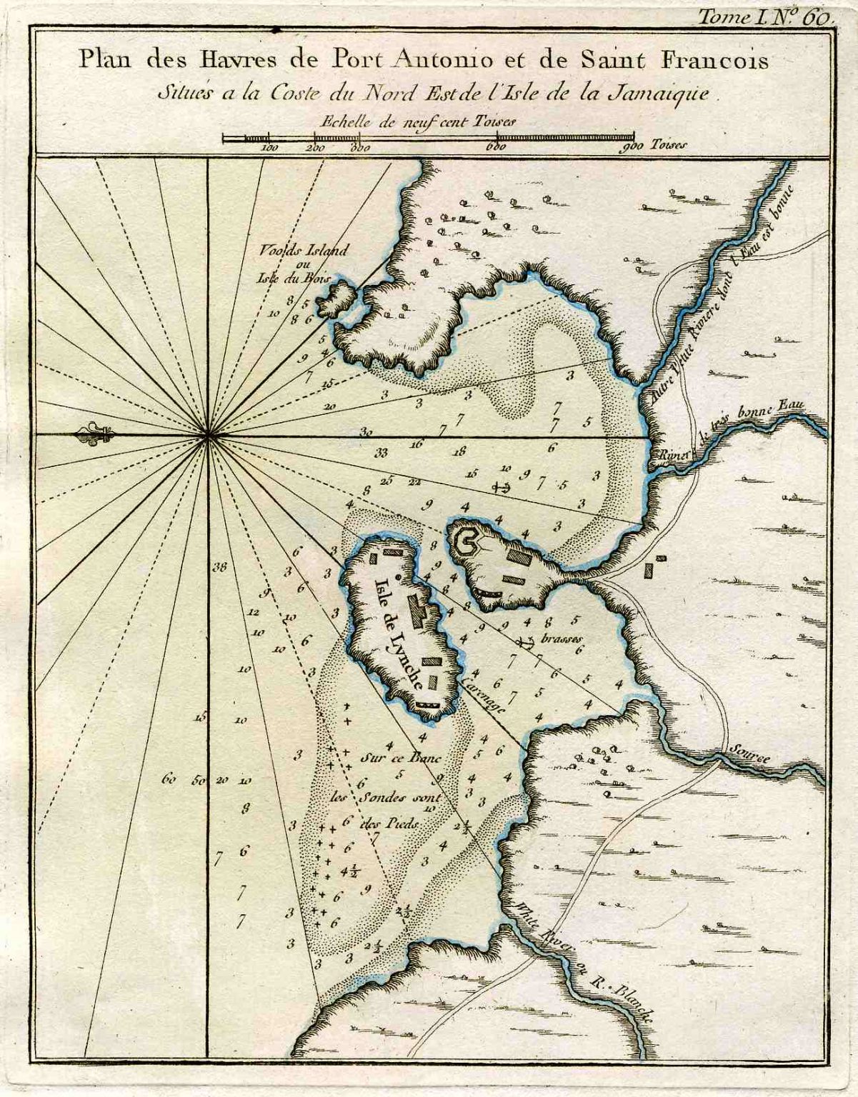
Bellin’s Plan des Havres de Port Antonio et de Saint Francois – 1764

Engraved and colored map, by Jacques-Nicolas Bellin. Published 1764 in his wellknown “Le Petit Atlas Maritime“.
Size of map: 20 x 15 cm.


Engraved and colored map, by Jacques-Nicolas Bellin. Published 1764 in his wellknown “Le Petit Atlas Maritime“.
Size of map: 20 x 15 cm.
