Moll’s New Map of the Island of Jamaica – 1717

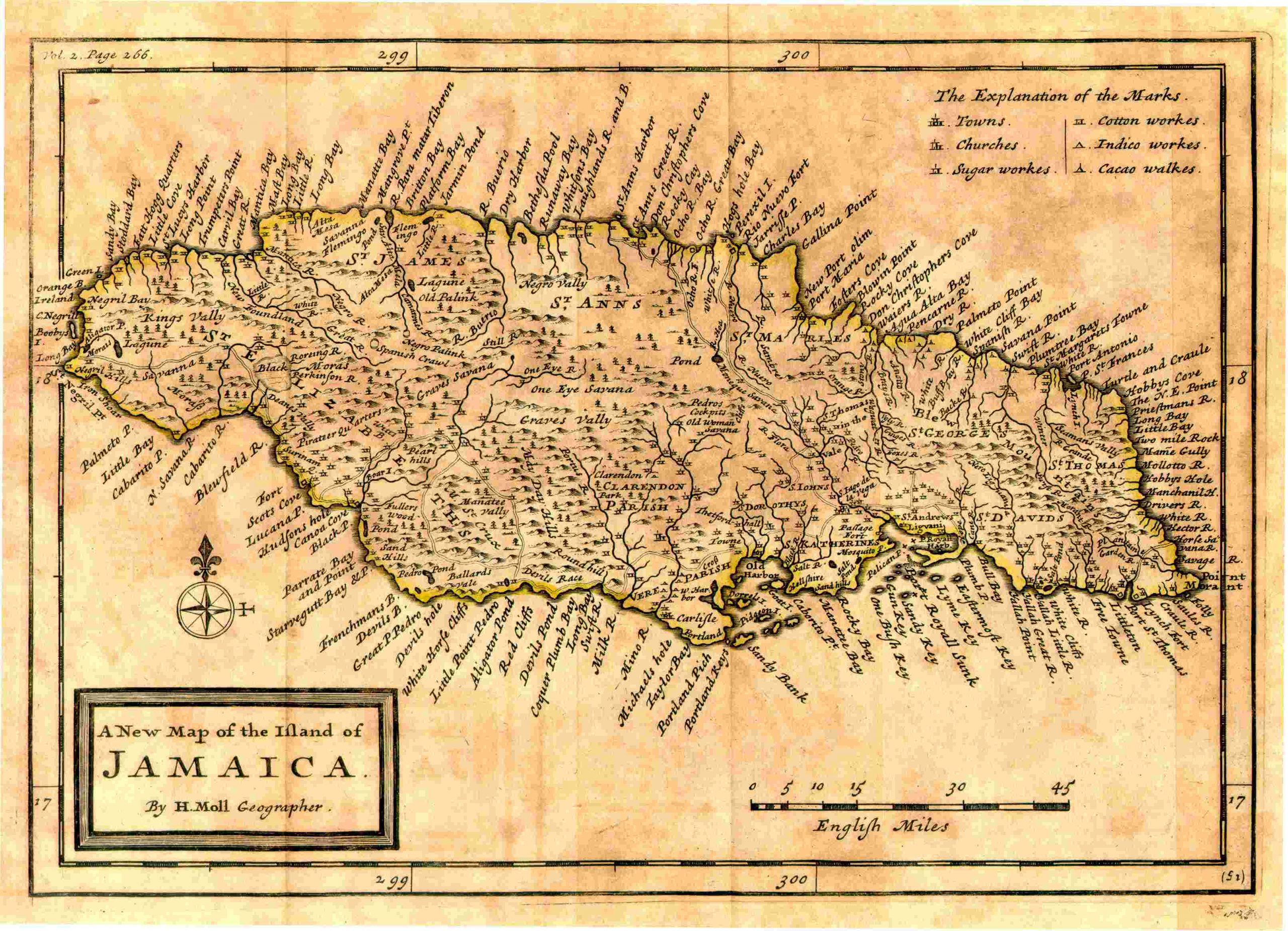
This map is entitled A New Map of the Island of Jamaica, By H. Moll, Geographer. It was published by Herman Moll in London in 1717. The page is 7.5×11 inches in size with original outline color. This is a map of Jamaica showing towns, churches, Sugar Works, Cotton Works, Indico Works and Cacoa works. There is a small but decorative title block.