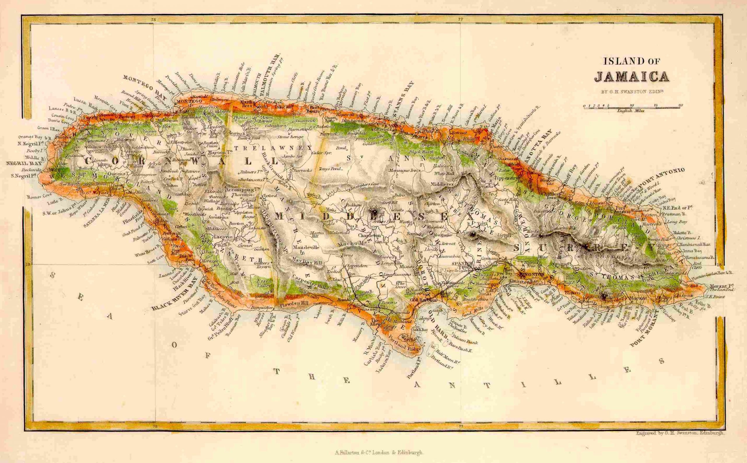
Swanston’s Island of Jamaica for Fullarton – 1860
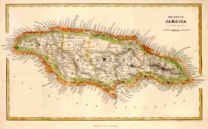
This map was published in London, for his Royal Illustrated Atlas. Parishes, mountains, rivers, roads, and railroads (in red) clearly shown. Accurate and very comprehensive location of placenames, including many of today’s resort areas: Montego Bay, Ocho Rios, Negril, etc. A small (5″ x 9″), attractive map in soft pastel colors.