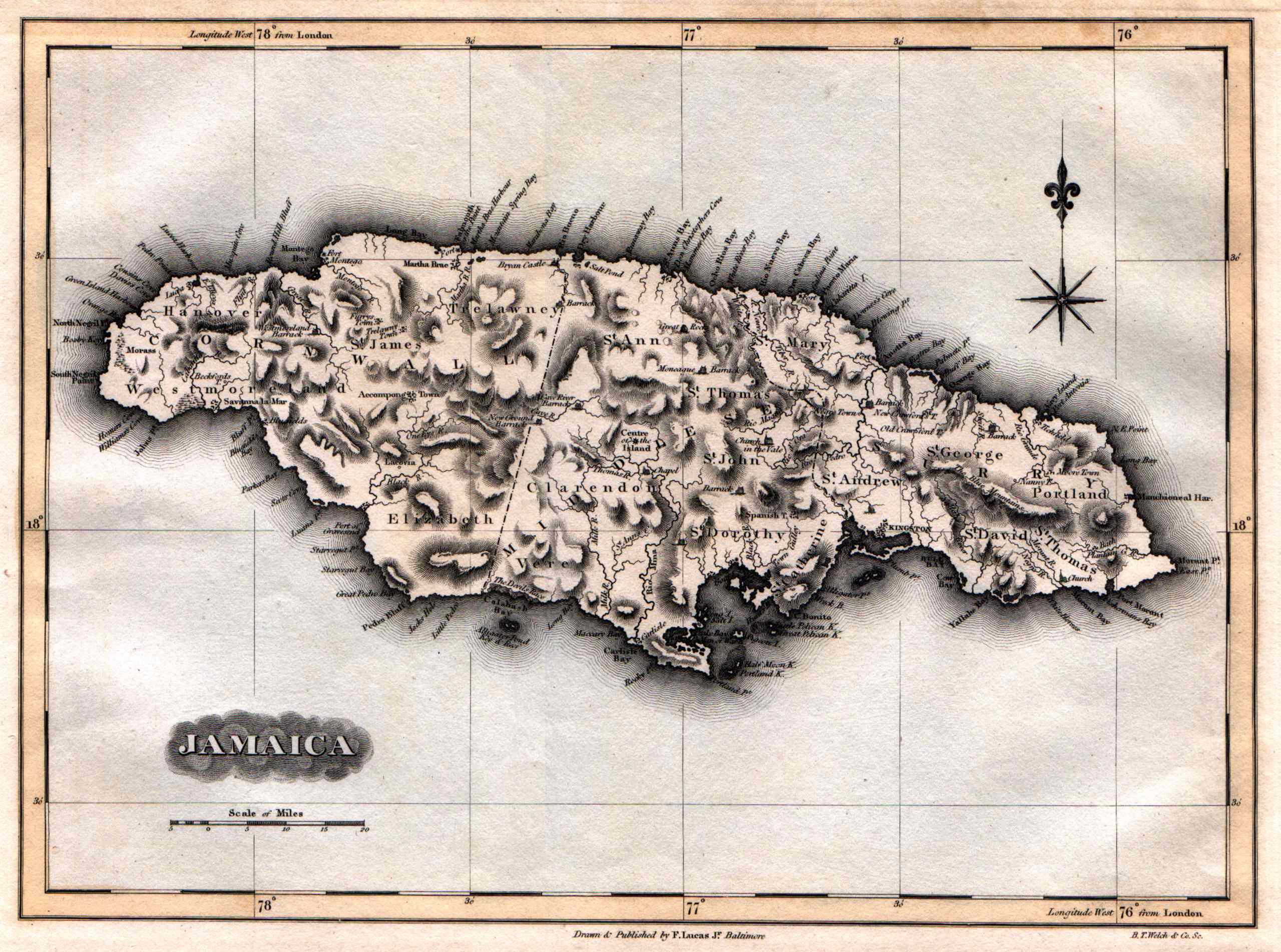
Lucas’ Jamaica – 1823

This is a rare map of Jamaica published in A General Atlas Containing Distinct Maps Of all the known Countries in the World. Constructed from the Latest Authority Baltimore: Fielding Lucas, Jr., 1823. Fielding Lucas maps from his scarce 1823 atlas show his broad outline coloring which is very distinctive and attractive. His maps are noted for their carefully compiled information and neat presentation. This map is a good example of Lucas’ work. It has soft pastel shades applied by hand.
Size 12 X 15 inches includes ample margins for framing.