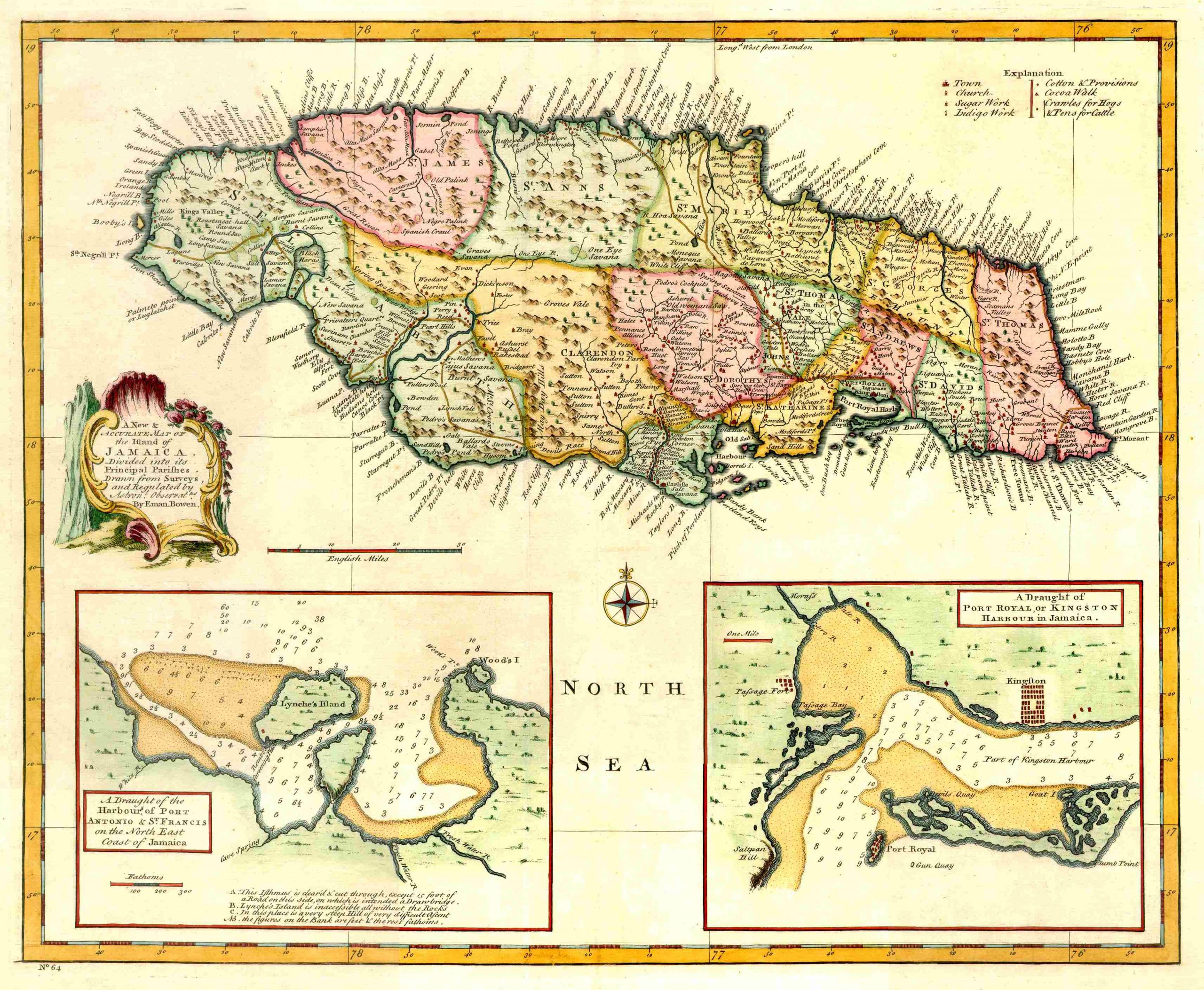
Bowen’s New and Accurate Map of the Island of Jamaica – 1744
 Emanuel Bowen was a map printer, seller and engraver to George II and Louis XV of France. This map was first published in 1744 in A Complete System of Geography and then later in A Complete Atlas in 1752 in London. It is accurate, has lots of interior detail and mountains where mountains should be.
Emanuel Bowen was born in 1720 and, despite his royal appointments, died poor in 1767.

