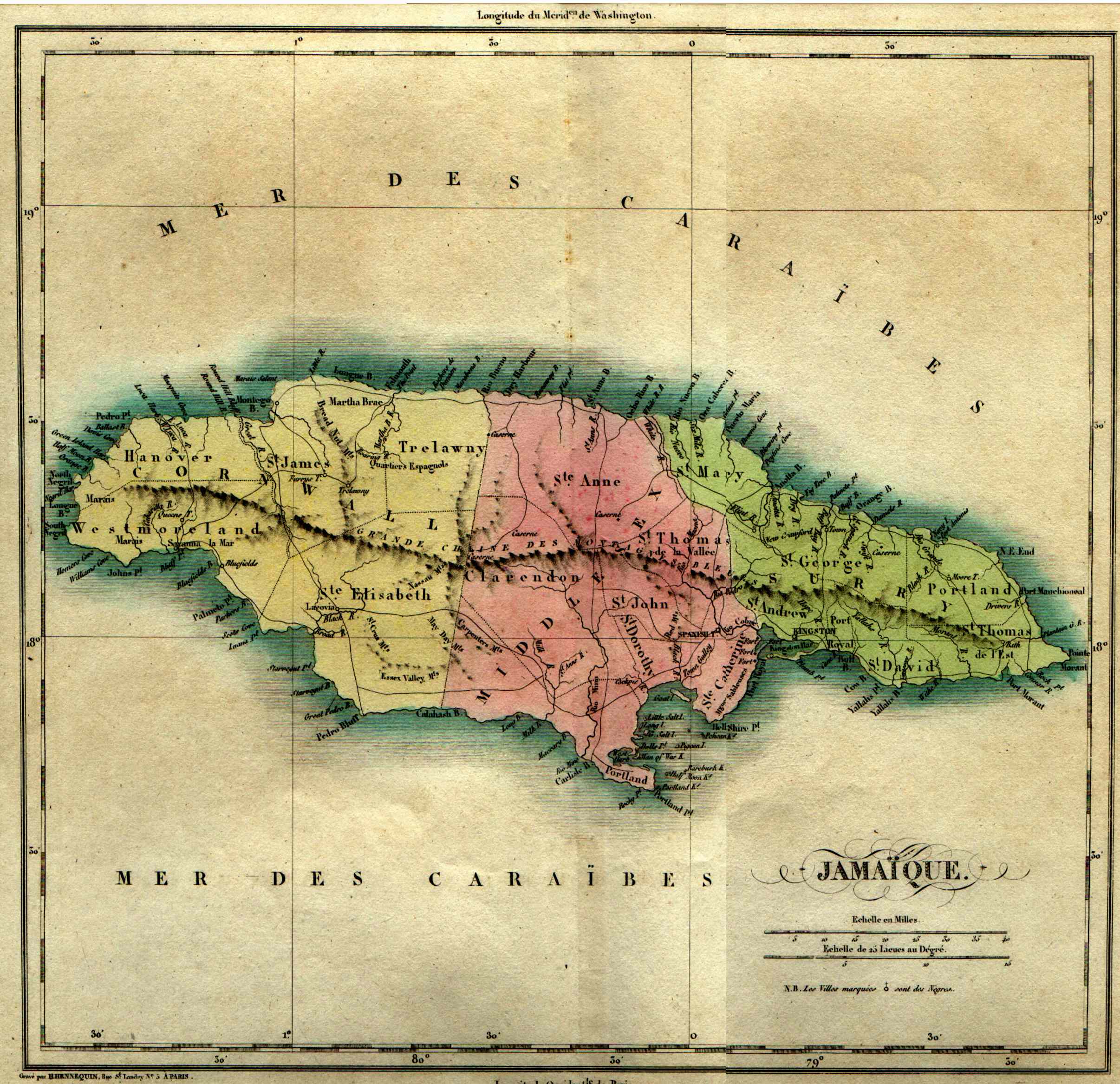
Buchon’s Jamaique – 1825
 CARTE GEOGRAPHIQUE, STATISTIQUE ET HISTORIQUE DE LA JAMAIQUE. Copperplate engraving with original full hand color; map is 11.25 x 11.75” (28.5 x 30 cm) + flanking and bottom related French letterpress text within 17.25 x 24” (44 x 61 cm) borders + title at top + full original margins; printed on handmade rag, laid paper.
“ATLAS GEOGRAPHIQUE, STATISTIQUE, HISTORIQUE, ET CHRONOLOGIQUE DES DEUX AMERIQUES ET DES ILES ADJACENTES”
Dedicated to S.A.R. le duc d’Orléans-
Printer Imprimeur – Imprimerie de J.CAREZ
Edition number and size – Edition et nombre de l’exemplaire – Première édition / first edition Dimensions – Format – 27.5 x 21 in (69,8 x 53,5 cm)

